Network management software

Turn critical network data into operational control

3-GIS provides purpose-built software for telecom and utility networks, turning spatial, asset, and operational data into a more accurate view of critical infrastructure. Plan, build, inspect, manage, and operate with better context, cleaner workflows, and network records teams can trust.

Explore solutions
Contact us

The world's critical networks run on 3-GIS

Telecom and utility organizations rely on 3-GIS to power the data, workflows, and system-of-record visibility behind essential service delivery.

About us   Our partners


oman_logo6654_1 orange-logo-resized (3) fingrid-logo-resized lumos-logo-resized gasline-logo-resized g-network-logo-resized windstream-logo-resized tbaytel-resized-logo tdc-net-logo-resized

You need more than just software, you need
a reliable partner.

Managing essential infrastructure takes more than a strong software platform. It takes a team that understands the complexity behind your network, the pressure your teams face, and the importance of getting the details right. 3-GIS brings together software, expertise, and long-term partnership to help telecom, electric, and gas organizations move with greater clarity and confidence.

Find your network

Solutions by industry

Each industry brings its own operational demands, but all rely on accurate infrastructure data and workflows that connect the people managing the network.

Select an industry:

Telecom

Turn network data into service delivery

3-GIS gives telecommunications organizations a connected network record for planning, designing, building, documenting, and managing fiber and copper networks. Accurate data moves with the work from early planning and OSP design through construction, field updates, asset inventory, maintenance, operations, and serviceability.

Homepage_Alternating_Content_Telecom (1)

Telecom solutions

 Take control of the network lifecycle

Every stage of the network lifecycle depends on trusted data. Explore 3-GIS solutions that improve collaboration, streamline workflows, increase visibility, and help telecom teams make faster, more informed decisions.

hub_teal


Fiber network, planning & design

Plan routes, evaluate opportunities, support OSP design, model connectivity, and create network data that can move cleanly into construction and operations.

account_tree_teal


Telecom asset & inventory management

Document physical and logical network records with the context teams need to inventory assets, trace circuits, identify serviceable locations, and turn available capacity into revenue opportunity.

engineering_teal


Fiber construction & field operations

Keep surveys, walkouts, construction updates, redlines, inspections, repairs, replacements, and as-builts connected to the network record.

settings_ethernet_teal


Network operations & maintenance

Use trusted network data to support outage response, maintenance, capacity insight, field updates, service delivery, and long-term network operations.

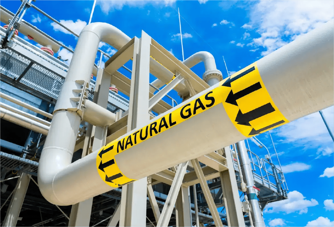
Gas utilities

Strengthen safety through better gas network visibility

3-GIS advances gas utility operations with clearer visibility into network data, asset records, inspections, and field activity. From Utility Network workflows to inspections and work visibility, teams can manage gas assets with stronger records, better context, and greater confidence across daily operations.

Homepage_Alternating_Content_Gas

Gas utility solutions

 Improve GIS, field, and operational workflows

Reliable gas infrastructure management depends on accurate records, consistent field documentation, and clear visibility into work activity. 3-GIS turns GIS data, inspections, and field updates into a more actionable operational view, strengthening coordination across the workflows that keep gas operations moving safely.

Electric utilities

Coordinate electric infrastructure work

3-GIS brings electric utility operations into a more complete, actionable network view. From infrastructure records and field updates to pole activity, inspections, and joint use work, teams can manage critical workflows with the visibility and coordination needed to move work forward.

Homepage_Alternating_Content_Electric (1)

Electric utility solutions

 Connect GIS, field work, and joint use

Electric utility work moves across the office, the field, and the assets that hold the network together. 3-GIS creates a clearer operating picture for records, field activity, inspections, and pole attachment activity, aligning infrastructure data with the work happening across the network.

schema_teal


Utility Network & GIS management

Drive Esri Utility Network workflows with tools for editing, tracing, validation, versioning, map production, and data quality.

rule_teal


Asset inspection & field operations

Plan, perform, document, and act on inspections, repairs, field findings, photos, notes, asset updates, and follow-up work.

view_timeline_teal


Operational visibility & work management

See, assign, prioritize, track, and coordinate utility work across office and field teams with clearer status, location, ownership, and follow-through.

approval_delegation_teal


Joint use management

Manage third-party pole attachment requests, permits, make-ready coordination, records, communications, compliance support, and billing inputs.

map_teal


Utility Network & GIS management

Strengthen Esri Utility Network workflows with editing, validation, tracing, map production, data quality, and governance tools built to give utility teams greater control over network data.

fact_check_teal


Asset inspection & field operations

Plan, perform, document, and act on gas field inspections with mobile GIS workflows, asset context, photos, notes, and repair follow-up.

assignment_teal


Operational visibility & work management

See, assign, prioritize, track, and coordinate utility work across office and field teams with clearer status, location, ownership, and follow-through.

Proven scale

Built for what networks demand

Whether teams are managing established infrastructure or preparing for rapid expansion, 3-GIS is built for growing data volume, active users, and increasing operational demand across complex network environments.

Enterprise data scale

500
M+

 Network records managed in large-scale customer environments

Operational transaction volume

50
M+

Monthly transactions supported in a single enterprise deployment 

Network complexity

170
K+

Miles of fiber managed within one customer network

Team adoption

1000
s

Users working in a single customer environment

We are proud to have replaced the legacy Network Engineer system with the 3-GIS Solution, making us the first in the region to adopt this advanced technology and placing us as pioneers in attracting the latest geospatial technologies. Thank you to 3-GIS for their commitment to innovation and playing a pivotal role in revolutionizing our operational processes and increasing our efficiency.
Mohammed Al Maktoumi
GIS Department Lead at Oman Broadband
3-GIS gives us the flexibility to map our network the way that we are building it, not the way that 9/10 people are building it. Of all the tools we have used, 3-GIS has been the most critical piece in tying everything together.
Evan Brander-McCaffrey
GIS Manager at Emerald Broadband
In our quest to lead Denmark’s digital transformation, aligning with the right technology partners is essential. The 3-GIS solution perfectly complements our strategic objectives, marking a significant milestone in our journey to offer Denmark the most reliable and advanced telecom services.
Carsten Rasmussen
Head of IT Enablement at TDC NET

Beyond software

Turn implementation into adoption

Strong network software is only part of the equation. 3-GIS pairs proven technology with data migration, implementation, technical support, and training so teams can put their systems to work faster and build more long-term value from them.

Homepage_Alternating_Content_Service and Support (1)
Telecom industry pulse: May 2026 recap
Network news roundup May's fiber and broadband news reflected a global industry moving fast. Many publicly funded programs produced their first real...
What network operators are weighing after Fiber Connect 2026
Fiber Connect 2026 confirmed what teams across the industry are already feeling: the U.S. fiber build is still very much in motion. Across the show...
First deep dive into Esri’s Telecom Domain Network – Rotterdam, April 8–10
Last month, I had the opportunity to attend Esri's Telecom Domain Network (TDN) Knowledge Transfer session in Rotterdam. While others from the 3-GIS...

Ready for what's next?

Build around better network data

Whether you manage telecom, electric, or gas infrastructure, 3-GIS gives you the geospatial foundation to maintain stronger records, connect workflows, and move work forward with greater clarity and control.